Austria
Hinterstoder
Plan the trip
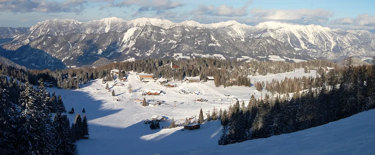
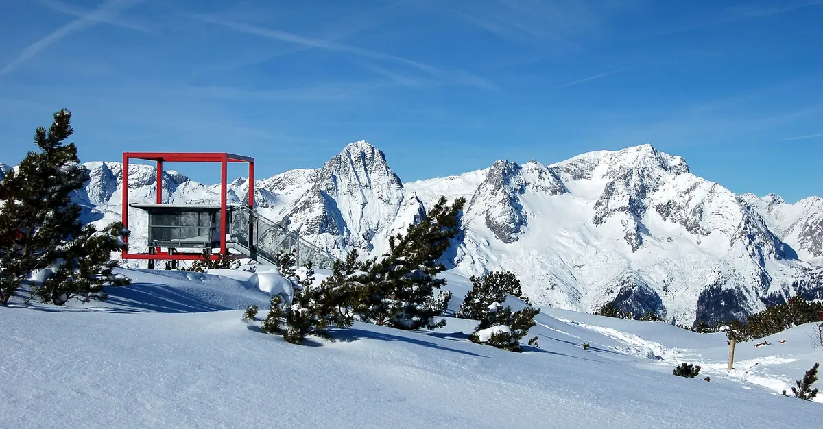
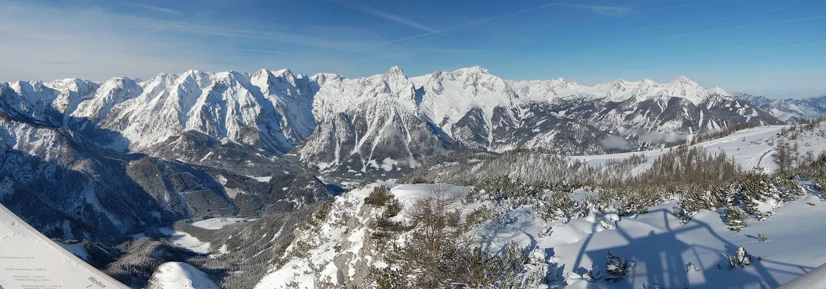
A serious mountain in Upper Austria at the head of the Stodertal, with a World Cup giant slalom on the Hannes Trinkl course and terrain steeper than most of this region. The valley is a dead end surrounded by the limestone walls of the Totes Gebirge, which makes the setting unusually dramatic for this part of the country.
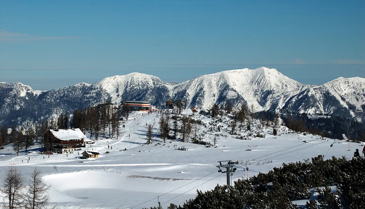
The skiing runs from the village up to nearly 2000 metres with a long descent and a good spread of terrain, and it shares a pass with Wurzeralm next door. Both are described locally as insider tips and very few international visitors come. Linz is around ninety minutes away.
- Marked pistes
- 35 km
- Lifts
- 19
- Summit
- 1,987 m
- Base
- 588 m
- Vertical drop
- 1,399 m
Pistes by difficulty
How the marked runs at Hinterstoder are graded.
- 43%Blue15 km
- 45%Red16 km
- 12%Black4 km
Other ski resorts nearby
The closest listed resorts in Austria.
Figures for Hinterstoder come from OpenSkiStats and OpenSkiMap/OpenStreetMap and can change between seasons. Check the operator before booking travel or lift passes. How the numbers are put together.